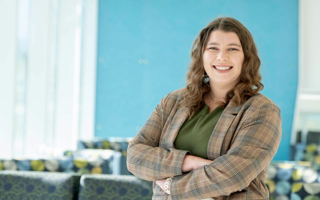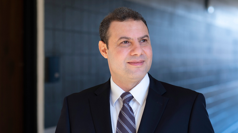
Reda Amer is serving as the new director of UMSL’s Geospatial Collaborative. (Photo by August Jennewein)
The University of Missouri–St. Louis has a new director for its Geospatial Collaborative as it works to strengthen its connections to St. Louis’ blossoming geospatial sector and take a leading role in building the future workforce.
UMSL tapped Reda Amer to lead the collaborative after most recently serving as an assistant professor in the Department of Earth and Space Sciences at Lamar University and the director of its Geospatial Center in Beaumont, Texas. Amer assumed his new position this month.
“We are pleased to welcome Reda to UMSL and have him leading the university’s work in the geospatial sector,” Vice Chancellor for Academic Affairs and Provost Steven J. Berberich said. “He brings a wealth of research experience in geospatial technology and also has helped create academic programming to train students in this emerging field of study. His expertise will help us as we seek to create academic programs that serve the workforce development needs of the National Geospatial-Intelligence Agency and others in St. Louis’ geospatial ecosystem.”
Amer’s arrival at UMSL marks a homecoming of sorts. Though originally from Egypt, he spent five years in St. Louis as he worked toward his PhD in geophysics from Saint Louis University, and all three of his children were born here. When he graduated in 2011, he also became the first SLU student to receive a graduate certificate in advanced remote sensing and geographic information systems.
He went on to serve as a professor of practice at Tulane University for seven years before moving to Lamar in 2019. At both universities, he helped build GIS programs for undergraduate and graduate students, and he helped launch a master’s degree program in geospatial sciences at Lamar in 2021.
“I’m so excited to come back to my home and to transfer my experience in teaching, research and developing geospatial programs to UMSL and to the greater St. Louis geospatial ecosystem,” said Amer, who holds a bachelor’s degree in geology and a master’s degree in remote sensing from Al-Azhar University in Cairo. “My main objective is to develop a workforce pipeline and to make UMSL’s Geospatial Collaborative the hub for workforce development.”
In 2021, the university entered into an Educational Partnership Agreement with NGA to work with NGA professionals to develop academic courses and programs in science, technology, engineering and mathematics that will provide students the knowledge and skills needed for careers in geospatial intelligence.
Amer believes St. Louis is now the center of geospatial technology, not only in the United States but globally, with NGA’s new $1.75 billion west campus, now under construction northwest of downtown, helping attract and spur growth in other businesses working in the field.
That’s only increased the demand for trained workers, both in businesses and federal agencies such as NGA, the United State Geological Survey and other agencies.
The programs Amer helped build at Tulane and Lamar wound up being popular with students from around the globe, and he believes the same thing will happen at UMSL.
“We had students from many countries – from India, from Africa and from Europe,” Amer said. “They came to United States to study these emerging sciences and also to get a degree. Most of them, they have the U.S. dream, so they want to stay here, as I did for myself. Some of them, according to VISA policy, would be obliged to leave the United States, but with new laws for giving extension for STEM – as geospatial sciences are under that umbrella – that would give graduates the opportunity to stay longer in the United States. I think this will help to fill the needs for the workforce.”
UMSL has just approved a new undergraduate certificate in GIS, and Amer said he is getting to work developing a graduate certificate as well as a master’s degree program in geospatial sciences. The latter will also offer a nonthesis option that would make it possible for students to complete the program in as little as a year and a half.
Both the graduate certificate and master’s degree programs could be attractive to individuals looking to change careers and take advantage of new opportunities in a growing industry.
“Some might work in real estate or some other businesses, and they get information about how the geospatial career is rapidly growing,” Amer said. “They decide to either get a certificate or a master’s to advance their career. So this will be open to all disciplines, not only for engineering or science but for everyone, because geospatial technology now is being used for everything – for public health, for real estate, for planning, for government, for decision-makers, for national security, for everything.”
UMSL has steadily been making investments to ramp up what it can offer students interested in geospatial technology since establishing the Geospatial Collaborative in 2020.
The university received and is matching more than $1 million in funding from MoExcels Workforce Initiative to build a Geospatial Advanced Technology Lab on campus as well as a virtual reality lab. Both will be used for training and research, and the VR lab will provide access to real-time data to better assess potential problems.
Emily Blackburn, who earned a master’s degree in criminology and criminal justice at UMSL and went on to serve as the manager of the crime analysis unit at the St. Louis Metropolitan Police Department, returned to UMSL as a geospatial analyst in December 2021. She will be supporting UMSL faculty and students, businesses and the community in employing geospatial technologies.
Last November, retired Vice Admiral Robert D. Sharp joined UMSL as a research fellow with the Geospatial Collaborative, where he’s focusing on helping guide efforts to build collaborative K-16 workforce and talent development.
Jessie Bleile, an NGA officer and analyst working in academic outreach, has also started working part-time as a professor of practice in geospatial science this semester to help the university continue to expand its geospatial offerings.


