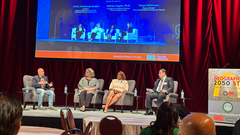
Retired Vice Admiral Robert Sharp, the former director of the National Geospatial-Intelligence Agency, (at left) discusses some of the geospatial resources available to teachers in St. Louis while appearing with UMSL Chancellor Kristin Sobolik, Gateway Global CEO Zekita Armstrong Asuquo and UMSL Geospatial Collaborative Director Reda Amer on a panel at the teacher workshop held in connection with Geography 2050 STL. (Photo by Steve Walentik)
The University of Missouri–St. Louis hosted more than two dozen teachers on Friday as part of a workshop connected to the Geography 2050 STL: Feeding Our Future Planet symposium, put on in partnership with the American Geographical Society.
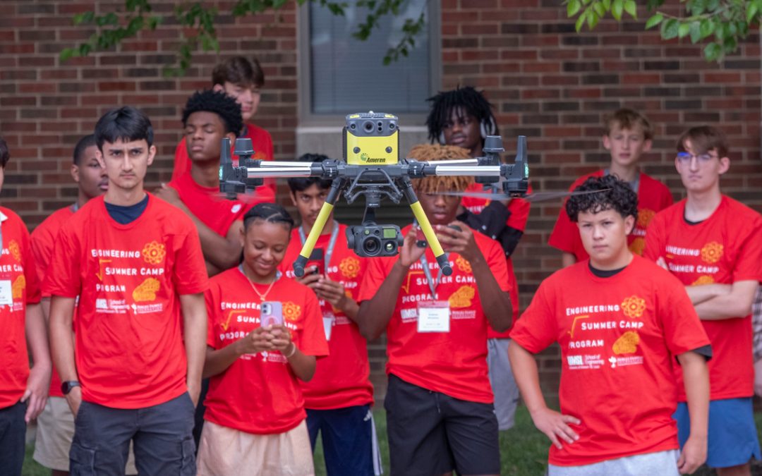
It was a chance for teachers from Missouri and surrounding states to learn about geographical and geospatial resources available in St. Louis, applications of geospatial tools and technology in their classroom and geospatial careers that could be available to their students in the future.
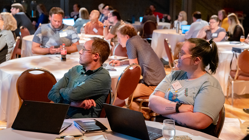
Attendees sit and listen to presentations during the teacher workshop held in conjunction with the Geography 2050 STL Symposium held at the E. Desmond and Mary Ann Lee Theater at the Blanche M. Touhill Performing Arts Center. More than two dozen teachers attended the event. (Photo by Derik Holtmann)
Chancellor Kristin Sobolik joined Retired Vice Admiral Robert Sharp, the former director of the National Geospatial-Intelligence Agency and now a research fellow with UMSL’s Geospatial Collaborative, and Zekita Armstrong Asuquo, the chair and CEO of the Gateway Global American Youth and Business Alliance, for a panel discussion about the resources available in St. Louis. Reda Amer, the director of the UMSL Geospatial Collaborative, moderated the discussion in the E. Desmond and Mary Ann Lee Theater at the Blanche M. Touhill Performing Arts Center.
Later panels showcased tools, such as OpenStreetMap, that teachers have implemented in their teaching, and attendees heard from fellow educators such as Michael Faust, a social studies teacher at St. John Vianney High School, and Dee Leible, a middle school math and history teacher at Christ Community Lutheran School, about how they’ve brought Geographic Information Systems technology into their classrooms.
Leible has been working with the Geospatial Design Lab in UMSL’s College of Education, which is led by Keith Miller, the Endowed Professor of Lifelong Learning in the Sciences, and Associate Teaching Professor Phyllis Balcerzak, working with Sarah Coppersmith, Fatemeh Mardi and an extensive group of teachers.
Emily Blackburn, a criminology and criminal justice alumna and now a geospatial data analyst with the Geospatial Collaborative, and Jessica Bleile, a mathematics alumna and now a geospatial technology professor of practice, were part of a panel examining the many career opportunities for students with GIS skills across a variety of industries.
UMSL is committed to developing the K-16 talent pipeline in its role as a main driver of geospatial workforce development in the St. Louis region. In this video, Sharp and NGA Senior GEOINT Authority for Geomatics J.N. “Nikki” Markiel spoke to UMSL Daily about the importance of teachers in developing the future geospatial workforce in St. Louis and beyond:
Media Coverage
St. Louis Public Radio