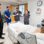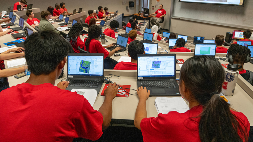
Marquette High School students Edward Yue (at left) and Joyce Liu look at maps of China’s Poyang Lake using ArcGIS last week during UMSL’s inaugural Geospatial Summer Camp. A group of 50 area high school students attended the four-day camp, held in a tiered computer classroom on the ground floor of Express Scripts Hall. (Photos by Derik Holtmann)
A group of 50 high school students sat captivated in front of their laptops inside a ground-floor computer classroom in Express Scripts Hall Thursday afternoon at the University of Missouri–St. Louis.
Displayed on their screens was a 1984 satellite image of Poyang Lake – China’s largest freshwater lake – and Reda Amer, the director of UMSL’s Geospatial Collaborative, was positioned at the front of the room, walking them through how to manipulate the image using ArcGIS, geographic information system software developed and maintained by Esri.
Amer set the image to show only infrared wavelengths, which helped the students more clearly identify the lake’s boundaries. He also showed them how to superimpose the picture with a more recent image from 2014, allowing them to compare the changes over time and quantify shrinking in the lake’s area.
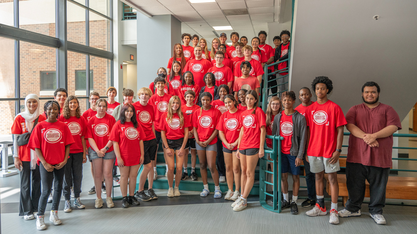
A diverse group of 50 students from 29 area high schools took part in UMSL’s inaugural Geospatial Summer Camp.
It was just one of the exercises they got to do over four days last week as part of UMSL’s inaugural Geospatial Summer Camp.
“We’ve been able to use industry software and kind of get to know what actual geospatial scientists do on a daily basis,” said Joyce Liu, a recent graduate of Marquette High School bound for Princeton University in the fall. “I think it’s a unique opportunity. I’ve never really heard of something like this before, where you can come in and use the actual software, especially for high schoolers.”
It left the students with a better idea of the numerous applications of geospatial science and GIS.
Those include observing and quantifying the impact of climate change or human behavior. In the case of Poyang Lake, water levels have been decreasing in recent years amid periods of drought and because of the practice of storing water upstream in the Yangtze River at the Three Gorges Dam, and the students were able to measure some of those changes and where they occurred.
A day earlier, they put themselves in the minds of city planners and used GIS to try to determine the best locale to build a new park based on the locations of existing green spaces.
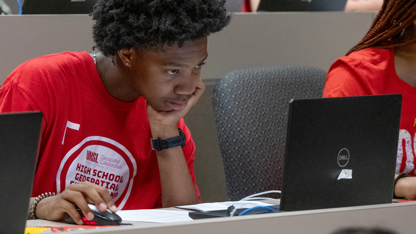
Metro Academic and Classical High School student Keteyian Cade leans forward to look at his computer screen while working on a problem during UMSL’s inaugural Geospatial Summer Camp.
“These students – most of them – don’t know what geospatial is because this is emerging science,” Amer said. “What we’re doing is we’re giving them the foundation in what is geospatial, why is it important, why we want them to know about it, why they need to learn it, because basically it is being used for everything. When they go to college, they need to have this foundation, take it with them and talk to their parents and their friends and their family. They can let them know there is something new called geospatial and it is being used for these applications and we can do this and that with it. That’s the message we want them to take home.”
As an introduction to geospatial science on Tuesday, Amer convened a panel of guests working in different positions in the field – a GIS analyst, a cartographer, an imagery analyst, a surveyor, a geodesist. Many of them interact with the National Geospatial-Intelligence Agency, which is growing its presence in St. Louis with the construction of the agency’s new $1.75 billion west campus northwest of downtown.
“I think talking to the panel was nice, being able to hear different perspectives and hear how broad the NGA is,” said Keteyian Cade, a rising senior at Metro Academic and Classical High School. “You can go in with any sort of major from college and have a job there – because geospatial covers so much.”
UMSL is committed to being a main driver of geospatial workforce development in the St. Louis region and has signed both a Collaborative Research and Development Agreement and an Educational Partnership Agreement with NGA as they work together to build a K-16 talent pipeline.
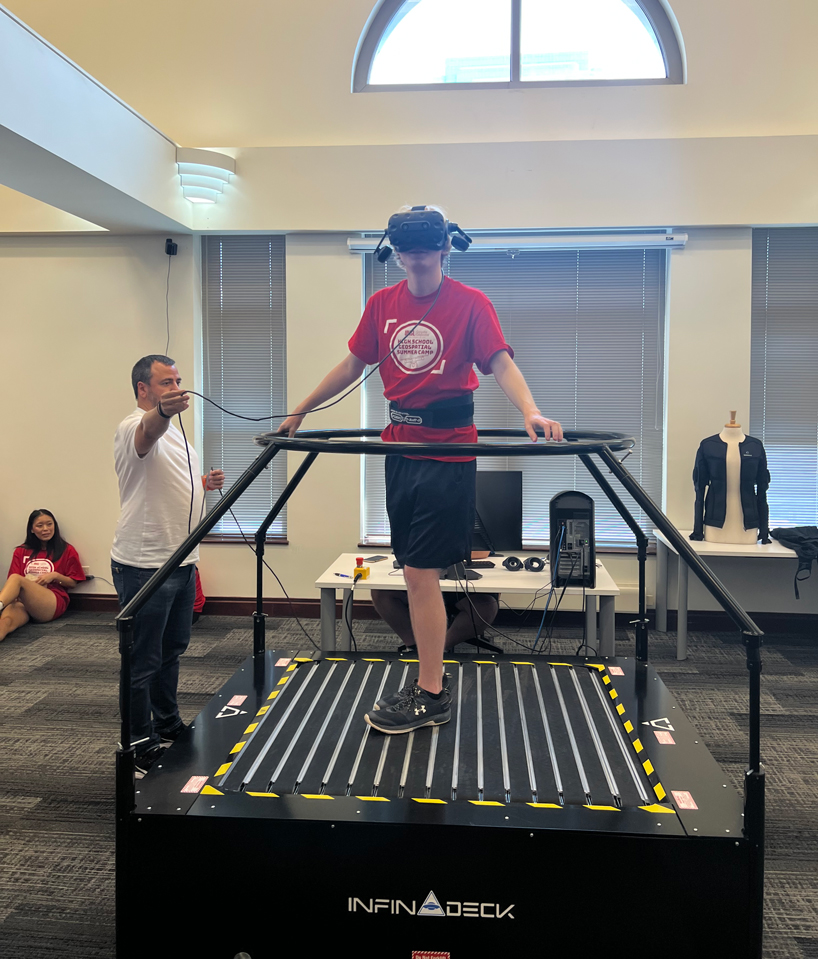
A high school students tests out some technology in the virtual reality lab at T-REX in downtown St. Louis during Friday’s field trip. The students also got to tour NGA’s Moonshot Labs, an unclassified innovation hub and collider space at T-REX. (Photo courtesy of Reda Amer)
The camp was one small part of that ongoing work. Amer had hoped to get about 20 students to attend in the first year, but he was flooded with well over 200 applicants.
He was able to expand the size of the camp to 50 students – boys and girls, some just beginning their high school experience and others who just graduated, from a diverse mix of racial and ethnic backgrounds. They represented 29 high schools from across the region, and each received a $500 stipend for taking part in the camp.
“This made us very excited that we are on the right track,” Amer said. “We will expand this to middle school as well, and we have already started planning for more activities during the fall semester and next spring and summer.”
For the final day of the camp on Friday, Amer led the students on a field trip to the Geospatial Innovation Center at T-REX in downtown St. Louis. They got to tour NGA’s Moonshot Labs, an unclassified innovation hub and collider space that opened in July 2021 and serves as a place for NGA teams to meet, create, collaborate and innovate with partners and customers. They also spent time in the virtual reality lab at T-Rex to learn how geospatial data is being used in virtual reality.