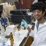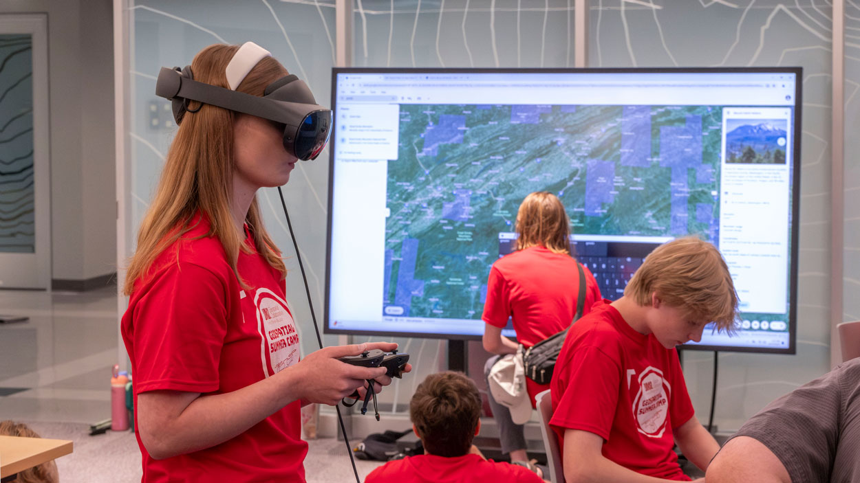
Affton High School student Allyson Meyer experiments with a virtual reality headset in UMSL’s Geospatial Advanced Technology Lab during a geospatial summer camp for area high school students. (Photos by Derik Holtmann)
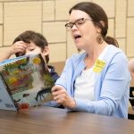
Sidney Sellers slipped on the virtual reality headset, took hold of the controls and, within moments, found himself gazing out across the massive peaks of the Himalayas.
Were it not for the low chatter of other teenage voices filling the space around him last Thursday afternoon in the Geospatial Advanced Technology Lab on the fourth floor of Benton Hall at the University of Missouri–St. Louis, Sellers might’ve been convinced he’d walked through a portal right into Nepal.
“That was my first time using VR, and it was mind-blowing how realistic it felt,” said Sellers, 15, who recently completed his freshman year at Collegiate School of Medicine & Bioscience. “The background noise was the only thing keeping me from feeling like I was actually there. That was just really cool to experience.”
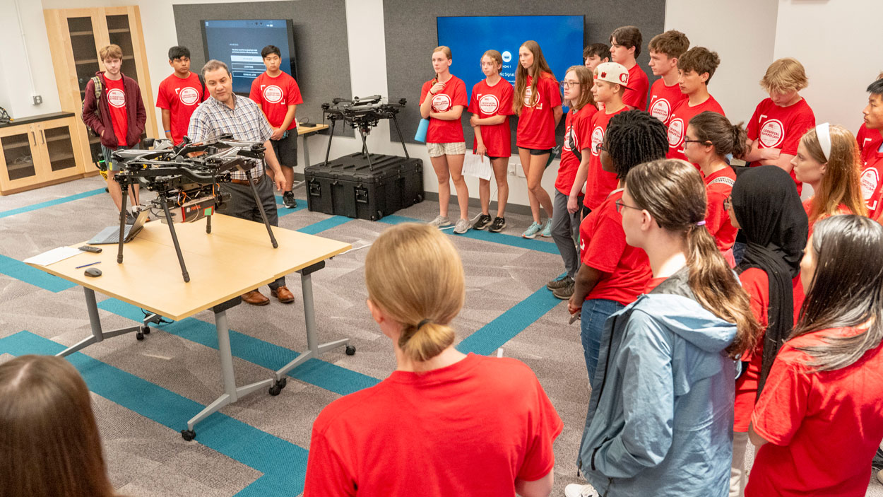
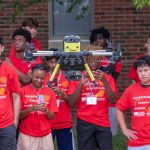
UMSL Geospatial Collaborative Director Reda Amer shows area high school students one of the drones used to collect data for the Geospatial Advanced Technology Lab. The students visited the lab on Thursday afternoon while taking part in UMSL’s second annual geospatial summer camp.
Only a short distance away, Aaron Lin, a 16-year-old rising junior at Ladue Horton Watkins High School, was calling up maps of Barcelona and later Paris on the lab’s interactive table. Using Google Earth, he explored the streets surrounding the Basílica de la Sagrada Família and then the Arc de Triomphe using .
Just outside in the hallway, 16-year-old Allyson Meyer, entering her senior year at Affton High School, stood with another group of students at the controls of Spot, the lab’s robotic dog manufactured by Boston Dynamics, directing its movements as it scanned the corridor collecting data.
Sellers, Lin and Meyer were three of the 30 students from 20 area high schools – a mix of private and public, including two in Illinois – who attended UMSL’s second annual geospatial summer camp.
The camp, held over four days last week, was organized by UMSL’s Geospatial Collaborative with a goal of exposing the students to several Geographic Information System tools that are becoming more and more prevalent in people’s lives.
“The main objective of this camp is to deliver knowledge about this new field,” said Reda Amer, the director of the Geospatial Collaborative. “It doesn’t matter what your major is. You can be in engineering, in biology or in business, but you will need to combine that with geospatial knowledge because when you go to apply for a job and interview, you will be asked if you know GIS.”
The camp curriculum was designed to reinforce the many uses of the technology across disciplines and industries.
Amer brought in guest speakers affiliated with the National Geospatial-Intelligence Agency’s West campus, leading GIS-software company Esri, and Maxar Technologies, a Colorado-headquartered company specializing in manufacturing satellite products and related services. Each of the first three days of the camp, the students got to listen to the speakers discuss geospatial applications for everything from defense and national security to business analytics and agricultural decisions. They also got to try their hand at developing maps and conducting analysis using tools such as ArcGIS and satellite imagery.
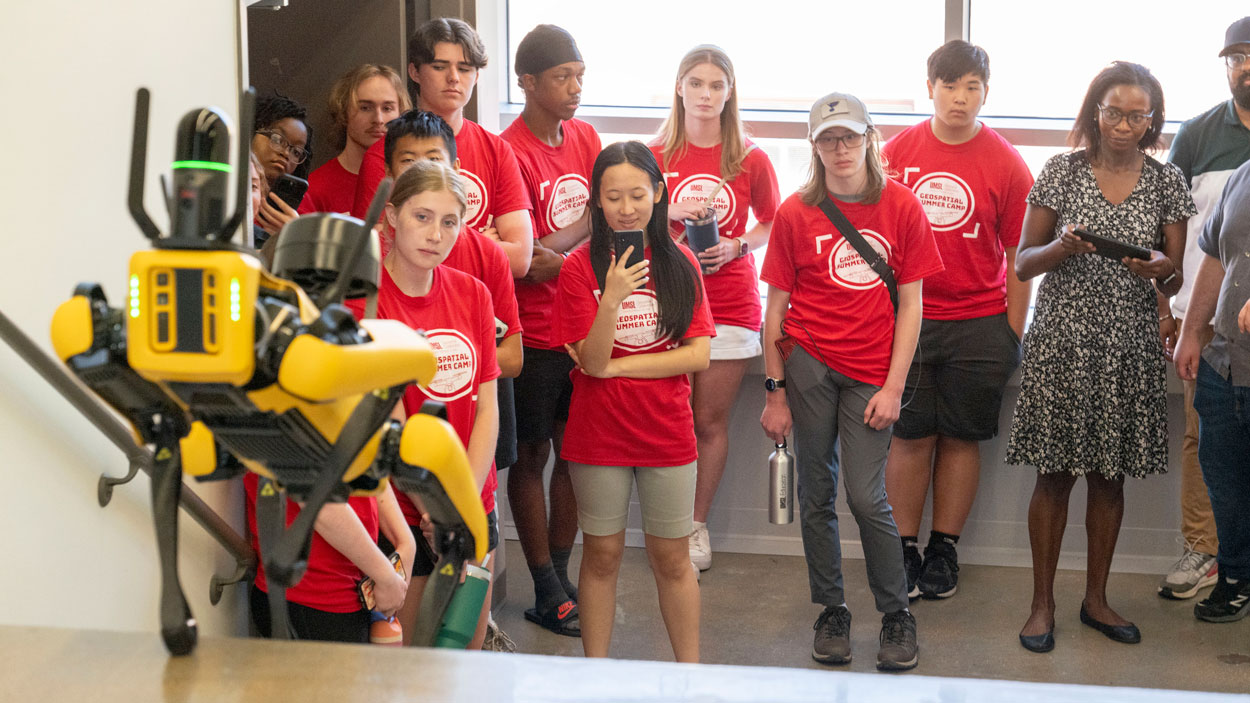
Students watch as Innocensia Owuor, a postdoctoral research fellow with the UMSL Geospatial Collaborative, directs Spot the robotic dog up a set of stairs in Benton Hall.
In one exercise, they mapped all the fountains in Paris. In another, they considered optimal locations to place a business based on traffic flows and the location to competitors. In yet another, they superimposed satellite images of Poyang Lake – China’s largest freshwater lake – in 1984 and in 2014 to highlight the changing boundaries and quantify its shrinking area.
“I didn’t realize how much data they really had and how powerful the software was,” Lin said. “There’s definitely a lot of things that you could do with it that they obviously didn’t go too deep into because there wasn’t a lot of time, but it was a good intro to see the possibilities.”
It seemed everyone’s favorite day came Thursday when they left their ground floor classroom in Express Scripts Hall and got to visit the virtual reality space in the Geospatial Advanced Technology Lab and take turns trying the different tools there.
“It’s cool to mess around with or get to use the technology,” Meyer said. “You can look around and see a bunch of different places around the world, some places that you might have not been to or that you want to visit.”
Amer polled the students the first day of the camp and found out only five or six of them had ever received instruction in geospatial technology before.
He and his colleagues with the Geospatial Collaborative have been trying to change that, creating workshops for local educators that teach them how they can integrate geospatial technology into their instruction. It’s all part of the university’s commitment to building a K-16 pipeline that can meet the educational and workforce needs of the region’s growing geospatial sector.
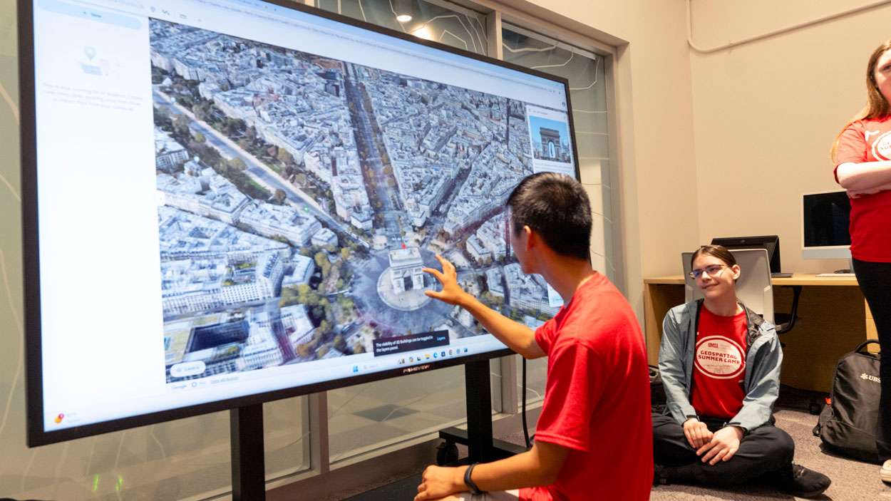
Ladue Horton Watkins High School student Aaron Lin manipulates a map of Paris with the Arc de Triomphe at the center on the interactive table in the Geospatial Advanced Technology Lab.
Amber Foster, a 15-year-old who will begin her sophomore year at Nerinx Hall High School in August, was happy she had the experience of the camp to help her learn something new.
“I didn’t know anything about it coming in,” she said. “I learned all the acronyms and what they mean. If somebody asked me now, ‘What is geospatial technology?’ I could tell them.”
The students recognized the technology isn’t going away.
“I feel like it’s definitely going to keep developing – maybe more technology that we can use to get a better basis of the earth,” Meyer said. “They mentioned that 3D models are pretty new, so I feel like we’ll get more of that through technology that is easier to use. There are definitely going to be some developments, and I feel like I’ll be using it again.”
This week, Amer is leading a two-day geospatial camp for middle school students. On Thursday, students from the UMSL Bridge Program’s Summer Academy will spend the day learning about geospatial technology. Local nonprofit Unleashing Potential will also bring a group of middle school students to UMSL to tour the Geospatial Advanced Technology Lab on June 25.