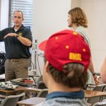
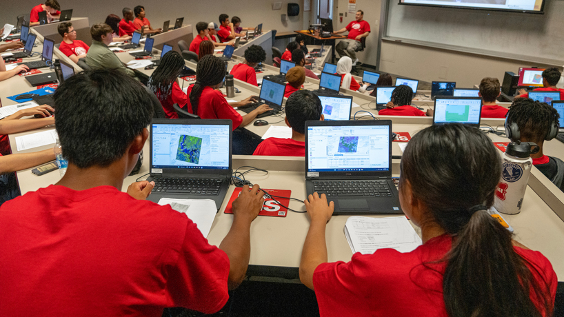
The four-day camp provided students with an introduction to geospatial science and gave them a chance to work with GIS tools such as ArcGIS to investigate policy problems.

The four-day camp provided students with an introduction to geospatial science and gave them a chance to work with GIS tools such as ArcGIS to investigate policy problems.
The four-day camp provided students with an introduction to geospatial science and gave them a chance to work with GIS tools such as ArcGIS to investigate policy problems.
The four-day camp provided students with an introduction to geospatial science and gave them a chance to work with GIS tools such as ArcGIS to investigate policy problems.
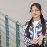
Mendez has been accepted into a master’s program at Washington University after finishing her bachelor’s degree in 3 1/2 years.