
- Acappellooza Summer brings more than 140 high school students to UMSL campus

- UMSL Athletics continues to post high marks in competition, classroom during 2024-25 academic year

- Business alum Ryan Bowman ready to hit ground running with Terrace Wealth

- MFA grad Alysha Black selected for Fulbright English Teaching Assistant Award in Belgium

- UMSL and enroll ml announce AI-powered partnership to redefine student enrollment and retention

- Gov. Mike Kehoe awards Challenge Coin to MIMH’s Safer Homes Collaborative for its work in firearm suicide prevention

- Eye on UMSL: Primed to lead

- Master’s grad Shiori Kaji has audit accounting role lined up with Anders CPA

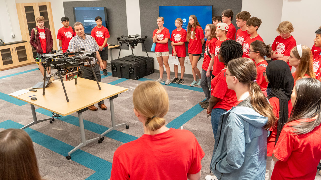
- Geospatial summer camp offers high schoolers hands-on experience with emerging technology

- Fourth-year Optometry student Emerald Jones honored as recipient of prestigious Remington R. Williams Award