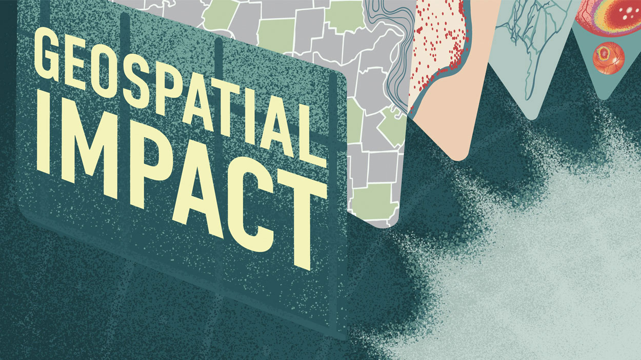
UMSL’s Geospatial Collective is helping faculty members across campus with research projects.
Through foresight and strategic planning, the University of Missouri–St. Louis is positioned to flourish as an integral part of St. Louis’ burgeoning geospatial ecosystem. The university’s primary geospatial goal is carving out a leadership role in developing a workforce pipeline, a need that will be essential with the expected 2026 completion of the National Geospatial-Intelligence Agency’s new $1.7 billion facility just outside of downtown St. Louis.
“The government, higher-education institutions and industry leaders are all working together to make St. Louis known as the Silicon Valley of the geospatial world,” says Reda Amer, the director of UMSL’s Geospatial Collaborative. “With NGA opening its new facility here, other companies have either become established or started new branches here in St. Louis, to be within this ecosystem and the opportunities that come with funding from the government and projects with higher education.”
UMSL is a founding member of the Taylor Geospatial Institute, along with lead institution Saint Louis University and the University of Missouri–Columbia, Missouri University of Science and Technology, Washington University in St. Louis, Harris-Stowe State University, the University of Illinois Urbana-Champaign and the Donald Danforth Plant Science Center. TGI is a pioneering entity in the geospatial ecosystem, created to drive research, foster collaboration and create lasting impact.
Amer was hired in February 2023 with UMSL’s workforce directive as his top priority, but not his only task. Another primary objective is helping UMSL faculty members across campus understand how to use geospatial tools, including Geographic Information Systems or GIS, to help inform their research and introduce visuals to improve the presentation of that research.
His efforts have been met with widespread enthusiasm.
“The place-based aspect of the data is really important,” says Anita Manion, an assistant professor of political science. “GIS allows us not only to understand it, but to illustrate it and show it to others in a way that’s accessible and understandable.”
Political Science: Understanding impacts of four-day school weeks
In her role as an assistant professor of political science at UMSL, Manion has two primary areas of study – election administration and education policy – and access to geospatial tools to display and convey the results of her research has been indispensable.
Manion has used GIS data to map out campaign contributions in St. Louis, showing that contributions from the Highway 40 corridor greatly influence races over the entire metro area. That data is more impactful when displayed with a map than in a table.
On the education side, Manion is using a grant from the Taylor Geospatial Institute to study the impacts of the four-day school week on the recruitment and retention of teachers using data from Missouri’s Department of Elementary and Secondary Education. In 2009, Missouri passed legislation allowing school districts to shift from a five-day school week. Districts were slow to make the rather drastic change, but Manion says roughly 30% of school districts in the state, mostly in rural areas, have adopted the condensed schedule.
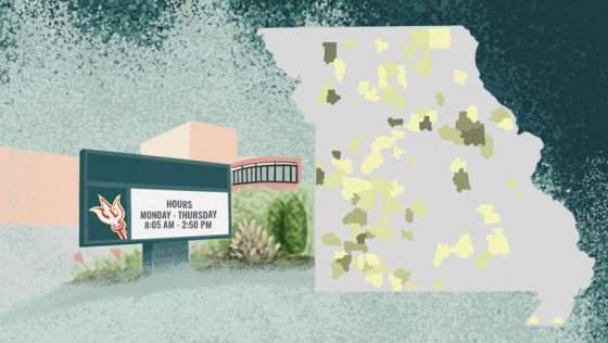
“We have seen basically a ‘keeping up with the Joneses’ effect,” Manion says. “We have maps that show over the years which districts are the early adapters, and then how that clusters out. Seeing what local districts do and how that influences other districts is one thing we’re able to illustrate.”
The legislation was initially presented as a cost-saving measure during a time of economic recession, Manion says, but now it’s being used to address teacher shortages. If the base pay is the same, the theory goes, wouldn’t a four-day work week be more appealing than a five-day work week? That’s especially important for districts trying to attract teachers in areas such as foreign languages, STEM or special education, where there is not an abundance of candidates.
“We want to understand, are these policies really working?” Manion says. “If perhaps there are some inconveniences or negative outcomes that families might experience, are you at least getting the benefits that you set out to get? Is it increasing teacher recruitment and retention? That’s what we’re trying to understand. And yes, of course, we hope that superintendents and state legislators use evidence to help inform their policymaking moving forward. So often we put laws into place and then just move on but don’t stop to actually evaluate the effects.”
Computer Science: Combatting St. Louis’ urban flash flooding threat
Because of the St. Louis region’s geographical location at the meeting of the Missouri and Mississippi rivers, creating solutions to mitigate potential flood damage will always be a priority. But the issues created when the great rivers crest well past flood stage are not the only concern.
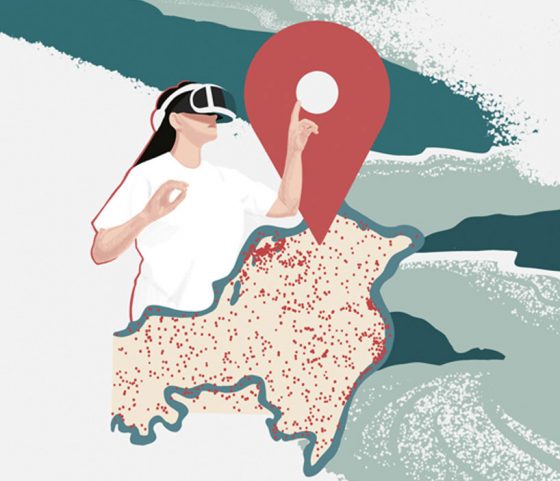 “Flash flooding is a real problem in the St. Louis area,” says Sanjiv Bhatia, a professor in UMSL’s Department of Computer Science. “There are a lot of creeks, and these creeks get flooded, quickly. They are very localized, and they cause a lot of problems.”
In July 2022, for example, the Upper River Des Peres in University City – which is less than four miles from UMSL’s campus – flooded after record rainfall totals in one 24-hour period. The rising waters caused more than $30 million in damages, and more than 300 homes eventually had to be condemned because of the quickly rising waters.
Bhatia, who started at UMSL just two years before the Great Flood of 1993, is working on using geospatial tools to help identify areas in St. Louis that are most vulnerable to flash flooding. The goal is two-pronged: To influence urban planning by ensuring excess water has safe exit avenues and to create a warning system available to local emergency preparedness agencies. Bhatia is collaborating with Amer and Badri Adhikari, an associate professor in computer science, on this research project, combining their expertise to enhance the precision of the flood vulnerability models and improve their application for real-world mitigation efforts.
Bhatia says one key will be getting data from a wide range of sources. Locally, that includes data from the Metropolitan Sewer District, drone surveys, river gauges and other sensors that measure elements like moisture in the soil, and the project will also target sources such as the European Space Agency’s Sentinel-1 satellite and Synthetic Aperture Radar data.
“The idea is to feed everything to machine learning algorithms,” Bhatia says. “In particular, CNNs, convolutional neural networks, are good for recognizing the patterns and LSTM, long short-term memory, is the temporal component, the time analysis. We’ll look at all these different factors which may influence or create conditions for flash floods.”
Bhatia is excited about using geospatial tools to help create real solutions for the region.
“We should be able to predict how much rain can cause a problem in different areas,” Bhatia says. “We can also do the simulations with virtual reality equipment we have in the Geospatial Collaborative lab. The whole idea of AI is to fuse all these different components and hopefully find the patterns in there which possibly we might have missed with mathematical models in the past.”
Supply Chain and Analytics: Researching inland waterways’ role in freight resilience
For faculty members in UMSL’s Department of Supply Chain and Analytics, using geospatial tools is a natural fit, so much so that Assistant Professor Trilce Encarnacion developed a course – Data Visualization for Business Applications – for the College of Business Administration in the fall of 2024.
 Encarnacion has regularly used GIS software to convey the results of her own research, such as when she analyzed food insecurity in St. Louis, working with UMSL student Alissa Oprisoni.
“The method I use is spatial econometrics, where we get those indicators,” she says. “What is the effect that space has on the outcomes? By virtue of being located here, what is your outcome going to be? Within the metro area, there are great disparities. Why? When you look at the data not on a table but in a space, you see what that means.”
Most of Encarnacion’s focus is on disaster and resilience research, which fits with her part of the five-year, $5 million grant the department was awarded by the United States Department of Transportation. Haitao Li, the supply chain department chair, is coordinating UMSL’s wide-ranging research, which has entered its second year.
Encarnacion is studying the role inland waterways can play in freight resilience, using data primarily from the Commodity Flow Survey, which shows how domestic companies ship raw materials and finished goods and is produced by the Bureau of Transportation Statistics, U.S. Department of Transportation and the U.S. Census Bureau. There are roughly 12,000 miles of commercially active inland and intercoastal waterways in the U.S., with almost all of the inland routes in the Midwest and South. St. Louis, at the confluence of the Missouri and Mississippi rivers and not far from where the Ohio River meets the Mississippi, is in the heart of the system.
“I’m very excited because we are going to develop mathematical models and metrics to understand the role that the waterways can play in supply chain resilience,” Encarnacion says. “And we will leverage the geospatial tools to create case studies based on the U.S., the St. Louis region and Missouri in general and even the Midwest.”
Optometry: Bringing optometry care to underserved populations
Tareq Nabhan’s passion for bringing optometry care to underserved populations has sent him across the globe – he’s served on five of the seven continents – and he’s excited about how geospatial tools have helped, and will continue to help, advance that mission.
 An assistant clinical professor in UMSL’s College of Optometry, Nabhan says he’s motivated by finding new ways to incorporate the still-evolving and growing geospatial technology in assisting not only the people who need eye care but students who are studying to become optometrists.
“I think that’s our responsibility as the only optometry school in the state,” Nabhan says. “If not us, then who?”
On a very basic level, geospatial mapping tools help pinpoint areas of need – health care deserts, as Nabhan calls them – whether that’s in remote rural areas of Rwanda or urban areas right here at home. Using the geospatial data, maps can also help visualize the barriers to care that exist in different areas, including complications such as transportation or affordability or even things like language, culture, tradition or religion.
But that’s only scratching the surface. Nabhan is focused on using geospatial tools to assure quality of care, too. Through a grant from TGI, Nabhan and his team took on a project aimed at evaluating the accuracy of how artificial intelligence maps patients’ eyes and identifies multiple diseases – everything from diabetic retinopathy to macular degeneration to glaucoma.
The research showed promise but indicated that more refinement was needed to help AI provide a comprehensive diagnosis. The grant from TGI was the first AI-specific grant for the College of Optometry, one Nabhan hopes opens doors for other researchers in the college.
Nabhan also wants to make UMSL a hub for telehealth diagnostic care, analyzing readings sent in from retinal cameras at locations that don’t have full-care eye centers.
“We want our optometry unit to be the graders of those images,” Nabhan says, “leveraging AI as the initial screening tool, with us as the examination step in that continuity of care. It’s exciting.”
Another project involves developing electronics simulation training tools that can be shared by both optometry and ophthalmology students.
“We’re working with Reda and his team and really leveraging the geospatial experts in developing an extended reality solution for a computer or an iPad or on a smartphone,” Nabhan says. “And then we want to develop this into a 3D solution with haptic feedback, force feedback, and get that solution to the students everywhere. That’s a global solution. We’re excited. We need to do it. It needs to be done.”
Physics: Mapping global variances in gravitational and magnetic fields
As director of NGA’s Geospatial Artificial Intelligence Application Laboratory, Dawn King is committed to building a bridge between academia and the Office of Geomatics at NGA. King, who earned both her master’s and PhD in physics from UMSL, has collaborated with her former advisor, professor of biophysics Sonya Bahar, to give students from her alma mater an opportunity to learn about geodesy and real work applications to Earth-based modeling.
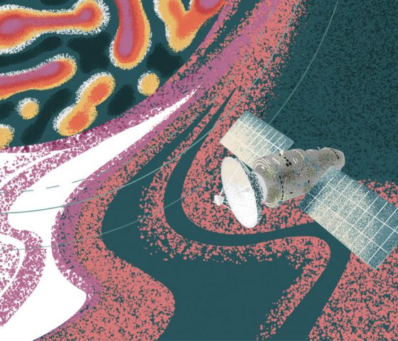 The current group of UMSL interns at the GAIA Lab includes physics, computer science and math students, along with students from three other local universities. GAIA Lab is housed on the Moonshot Labs floor at the T-REX center, a nonsecure geospatial facility that does not require government clearance, in downtown St. Louis. The primary project the interns are working on is mapping the variances in gravitational and magnetic fields around the globe.
“The Earth is not a perfect sphere, and the fact that it’s not a perfect sphere drives local differences in the gravitational field and local differences in the magnetic field,” Bahar says. “All of those things are really difficult to map and to study, so one of the major projects that GAIA Lab is focusing on is using artificial intelligence to optimize the mapping of the irregularities in the magnetic field and the gravitational field.”
One of the real-world applications of their work: Helping to improve GPS data, not only as used by government agencies with satellites and bigger-picture projects, but with the map apps that people across the world use every day on smartphones, tablets and laptops.
“Those very subtle differences are critical for GPS accuracy,” Bahar says. “Not only are there mountains and valleys, but it’s slightly flatter at the poles. There are changes in the pressure on the Earth’s crust, even due to things like climate change driving melting of ice sheets, which is going to change the pressure and lead to sea level rise and also changes in pressure on different parts of the globe, which will lead to expansions and contractions. So the fact that it’s not a perfect sphere, for all sorts of complicated reasons, means it’s important to really map every tiny little detail, every single little dip.”
UMSL physics graduates Marlie Mollett and Xavier Gobble are two former GAIA Lab interns who are now working for NGA, and both Bahar and King hope that’s just the start of a productive pipeline of UMSL students entering the geospatial ecosystem.
This story was originally published in the fall 2024 issue of UMSL Magazine. If you have a story idea for UMSL Magazine, email magazine@umsl.edu.


