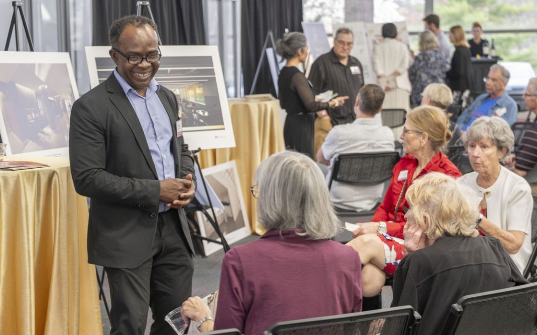
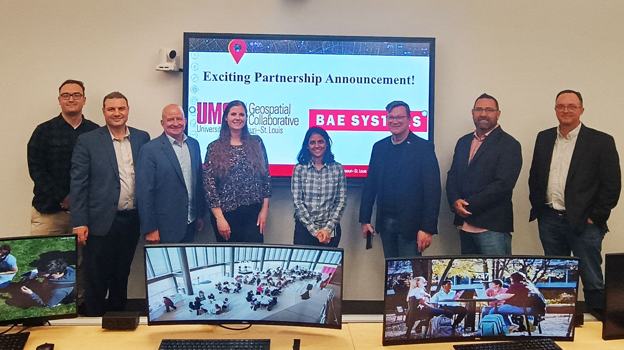
Representatives of UMSL and BAE Systems announced a new strategic collaboration between the two organizations during an UMSL YouthMappers Off-Ramp Speaker Series Event featuring BAE Systems’ Keith Barber (third from right) on Feb. 26 in UMSL’s Geospatial Advanced Technology Lab. The collaboration will help create scholarship and internship opportunities and provide students and faculty access to BAE Systems’ GXP® software. (Photo courtesy of Torin Hovander)
The University of Missouri–St. Louis remains committed to building the geospatial workforce in the St. Louis region and beyond.
A strategic collaboration with BAE Systems will create scholarships and internship opportunities for students studying remote sensing and geographic information systems, or GIS, and will also provide students and faculty access to the company’s powerful GXP® software, along with customized training.
Reda Amer, director of UMSL’s Geospatial Collaborative, made the announcement at a recent event featuring Keith Barber, BAE Systems Electronic Systems sector’s director for strategies and engagements, that was hosted by the student group YouthMappers in the Geospatial Advanced Technology Lab in Benton Hall.
“BAE Systems is a global leader in aerospace and defense, delivering advanced technology solutions that support national security intelligence and geospatial innovation,” Amer said. “This collaboration marks a significant step forward in expanding educational and career pathways for our students, and we look forward to the incredible opportunities it will bring.”
Barber said its work with BAE Systems is part of an ongoing commitment to academic engagement.
He recalled attending a conference last year when he ran into retired Vice Admiral Robert Sharp, the former director of the National Geospatial-Intelligence Agency now serving as a research fellow with UMSL’s Geospatial Collaborative. The two had worked together at the NGA, and they began discussing ways BAE Systems might work with UMSL.
Both agreed that to have the biggest impact, the team would have to go beyond simply licensing the company’s software. It also needed to provide opportunities for students to engage with BAE Systems employees, both in trainings and in internship opportunities.
“Academia and industry working together supports our next-generation innovators who will solve the world’s toughest problems,” Barber said. “This approach gets students to think in different ways so that they can grow and gain experience and exposure to possible career opportunities. These geospatial technologies are really adaptive and can be used in so many ways, but they only become more adaptive when you get them in the hands of young minds early.”
BAE Systems is supporting a $2,500 scholarship that will be awarded annually to a student enrolled in UMSL’s GIS certificate program. The Geospatial Collaborative will also share information with students about internship opportunities with BAE Systems.
“It doesn’t matter what your major is,” Amer said. “If you think in GIS and know GIS, you will have the opportunity to apply for these internship opportunities.”
GIS has applications in a wide array of fields and industries, including agriculture, community development, energy, marketing, public policy and supply chain.
Amer said BAE Systems’ GXP software will be installed on each of the computers in the Geospatial Advanced Technology Lab and will be available for student use. He plans to hold workshops led by the company’s employees to help students as well as faculty researchers understand its capabilities.
“There is some software that looks at just GIS – the mapping piece – or the human geography piece,” Barber said. “Ours has a multitude of sensors, so synthetic aperture radar, electro-optical imagery, hyperspectral imagery. It uses full-motion video. The modality of capabilities that are in the toolbox is vast, and it has a great deal of precision to back that all up.”