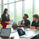
The four-day camp provided students with an introduction to geospatial science and gave them a chance to work with GIS tools such as ArcGIS to investigate policy problems.
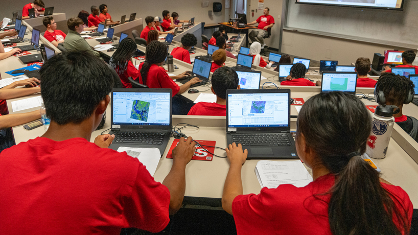

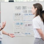
The four-day camp provided students with an introduction to geospatial science and gave them a chance to work with GIS tools such as ArcGIS to investigate policy problems.
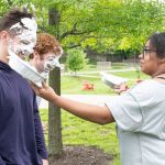
The four-day camp provided students with an introduction to geospatial science and gave them a chance to work with GIS tools such as ArcGIS to investigate policy problems.
The four-day camp provided students with an introduction to geospatial science and gave them a chance to work with GIS tools such as ArcGIS to investigate policy problems.
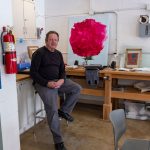
Nichols is investigating proteins linked to inflammation in the brain that occurs as part of the neurodegenerative disease.