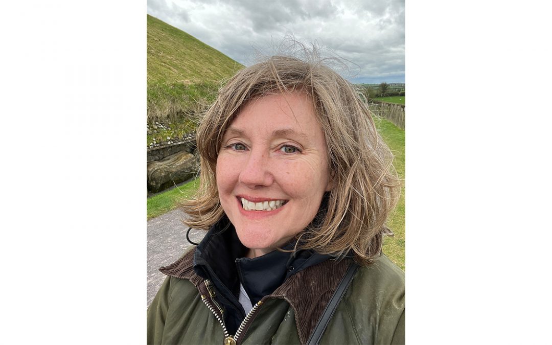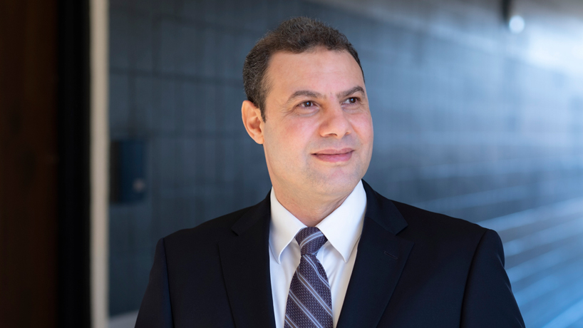
Reda Amer, the director of UMSL’s Geospatial Collaborative, appeared as a guest on “Total Information AM” on KMOX Radio (1120 AM). (Photo by August Jennewein)
Construction continues on the National Geospatial-Intelligence Agency’s new $1.75 billion west campus northwest of downtown St. Louis, and it has helped spur further growth in the geospatial sector throughout the region.
Reda Amer, the director of University of Missouri–St. Louis Geospatial Collaborative, joined KMOX Radio (1120 AM) host Megan Lynch Monday morning on “Total Information AM” to discuss what the university is doing to help build the workforce to support that growth.
“The geospatial field is an emerging field,” Amer said. “It is not like biology or physics or other disciplines that are well-established. As a new field, we have a shortage in graduates to feed the industry with geospatial professionals and also in researchers.
“It is important to start at early ages, in K-12, building the geospatial thinking and preparing them to take this path in colleges and also if they decided to continue in graduate schools.”
Last fall, former NGA Director and retired Vice Admiral Robert Sharp joined the Geospatial Collaborative as a research fellow with a specific focus on guiding collaborative K-16 workforce and talent development while strengthening and expanding the university’s partnerships.
“He and I are leading the efforts of the GeoFutures coalition, the talent initiative working group,” Amer said. “This group has members from different institutions and nonprofit organizations. They provide activities and training to teachers and school students. When we build this geospatial thinking at these early ages, we prepare them for the college path and also as a new generation of geospatial scientists.”
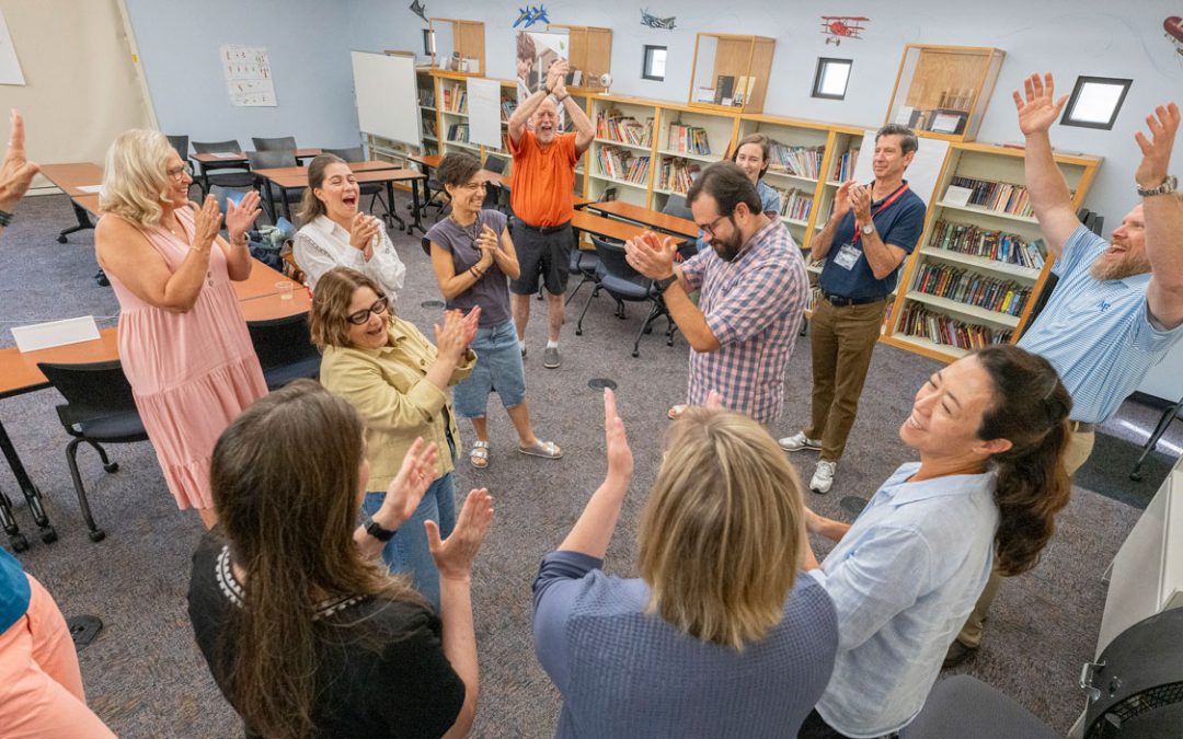
Earlier this year, UMSL hosted more than two dozen teachers for a workshop in connection with the Geography 2050 STL: Feeding Our Future Planet symposium, held in partnership with the American Geographical Society. It provided teachers from Missouri and nearby states an opportunity to learn about geographical and geospatial resources available in St. Louis, applications of geospatial tools and technology in their classroom and geospatial careers that could be available to their students in the future.
Amer also launched a geospatial summer camp for about 50 area high school students to help expose them to some of the applications of geospatial science and geographic information systems or GIS.
“For adult learners who are interested in advancing in their career or changing their career,” Amer said, “we have the GIS certificate that will help them to find the opportunities that they looking for.”
Listen to the complete interview on the KMOX website.


