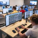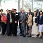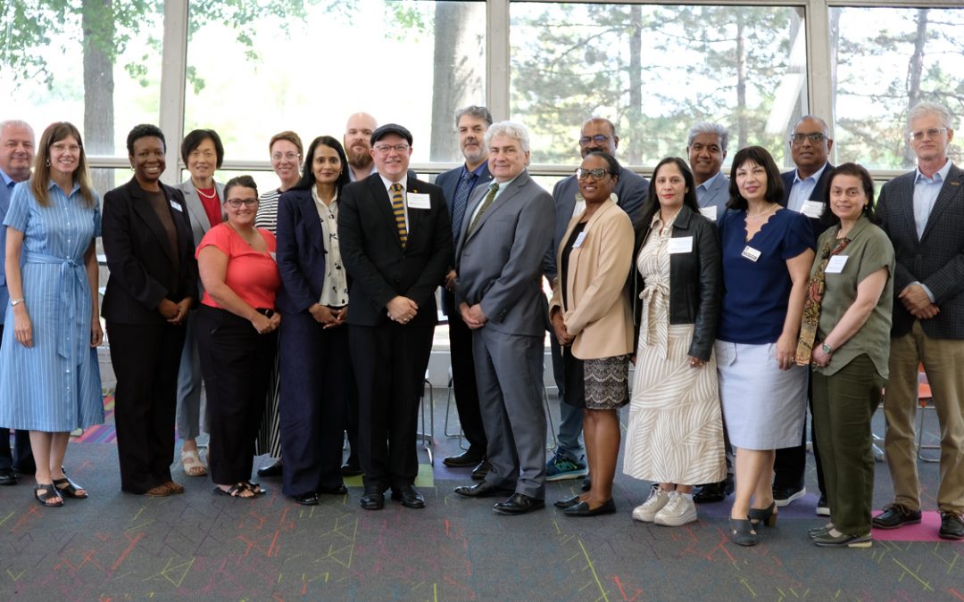
New agreements between the university and the American Geographical Society, Civil Air Patrol, Bowman Consulting and T-Kartor are contributing to those efforts by helping create internship opportunities and opening workforce pathways in geospatial technology. (Photo by Derik Holtmann)
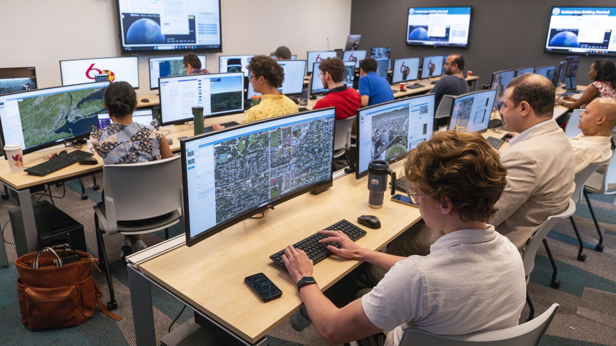
The University of Missouri–St. Louis launched the Geospatial Workforce Development Program with the aim of accelerating education, training, certification and research in geospatial science and technology throughout the St. Louis region.
The program is a federally-funded initiative launched by UMSL in partnership with the National Geospatial-Intelligence Agency, T-REX, and other regional partners. It is part of a five-year program authorized by Congress through the National Geospatial Innovation Hub Advancement Act and incorporated into the FY25 National Defense Authorization Act. The program is helping to strengthen collaboration between academia, government and industry, so they work together to prepare the next generation of geospatial professionals.
New agreements between the university and the American Geographical Society, Civil Air Patrol, Bowman Consulting and T-Kartor are contributing to those efforts by helping create internship opportunities and opening workforce pathways. The partnerships will also help develop applied projects and experiential learning opportunities and provide professional workshops and training events and access to technology, training and tradecraft expertise.
“UMSL is excited to partner with these leading organizations as we work to build a strong and sustainable geospatial workforce,” said Steven J. Berberich, UMSL’s provost and vice chancellor for academic affairs. “By working with partners across industry, government, nonprofit and professional sectors, UMSL is creating new opportunities for students to gain hands-on experience, engage with emerging technologies and connect their education to meaningful careers.
“With the lessons they learn and experiences they’ll gain, they will be ready to address complex challenges and make an immediate impact in the workforce while helping reinforce St. Louis as a leading hub for geospatial science and technology.”
Access to the Geospatial Community
For more than 175 years, the American Geographical Society has advanced geographic knowledge and demonstrated how spatial thinking helps solve some of society’s most pressing challenges.
Through its collaboration with AGS, UMSL students will gain greater exposure to the national geospatial community, professional networking opportunities, thought leadership and the broader role geography plays in supporting national security, economic development, environmental stewardship and global decision-making.
Understanding the Mission
Students also need opportunities to apply what they learn toward real-world missions. The Civil Air Patrol, through the CAP Geospatial Program, has long demonstrated how geospatial technology can support emergency services, disaster response, search and rescue, aviation operations and community resilience. Its commitment to developing future leaders makes it an exceptional partner in preparing students for careers that combine technical expertise with public service.
Working together, UMSL and CAP help create meaningful learning experiences that expose students to operational geospatial technologies, mission-focused problem-solving and career pathways across government, nonprofit and industry sectors.
Integration with Industry
UMSL students will also benefit from working with industry partners such as Bowman Consulting and T-Kartor. Bowman brings extensive expertise in surveying, engineering, geospatial services, reality capture, planning and infrastructure development. Its multidisciplinary approach demonstrates how geospatial data supports better decision-making across transportation, utilities, land development and community planning.
T-Kartor, meanwhile, has a strong reputation for delivering enterprise geospatial solutions that support government agencies, defense organizations and commercial clients around the world. Its expertise in GIS modernization, operational mapping and mission-critical geospatial systems will give students valuable insight into how geospatial technologies are used to solve complex, real-world challenges.
Both partnerships are already providing students with the chance to learn directly from industry professionals, explore applied technologies and better understand the wide range of career paths available within the geospatial profession.
Bowman and T-Kartor combined to create and filled 16 internship opportunities for students from around the region this summer with the help of partners in the Geospatial Workforce Development Program, and four of those interns have transitioned to full-time employment within the St. Louis geospatial ecosystem.
“This partnership has exceeded our expectations,” T-Kartor CEO Simon Bailey said. “We have already extended two job offers to interns who recently graduated, showing that the model is working. These students are gaining real-world geospatial experience and demonstrating they are ready to contribute. For T-Kartor, this is what effective workforce development looks like.”
UMSL even more recently finalized a partnership with GravTech Solutions, which has developed next-generation drone-based gravity gradiometer technology that can create precise maps of subsurface structures. It has applications for natural resources, infrastructure and environmental monitoring, as well as defense and homeland security. The partnership will give students opportunities to engage with tools that are shaping the future of geospatial science. Through guest lectures, technical expertise, real-world datasets, applied research, workforce-aligned workshops and experiential learning, GravTech will also help bridge the gap between the classroom and the real world.
With the help of these partnerships, UMSL students will gain a better understanding of the skills employers are seeking in today’s rapidly evolving geospatial workforce.
“The success of the Geospatial Workforce Development Program depends on building meaningful partnerships that bridge the gap between education and workforce needs,” said Reda Amer, the director of UMSL’s Geospatial Collaborative. “These partners all provide valuable opportunities for students to engage with real-world challenges and learn from leaders in the field. Together, we’re creating a pathway that not only prepares students for rewarding careers but also helps meet the growing demand for geospatial talent in St. Louis and across the nation.”