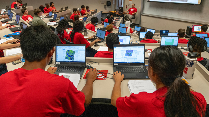
The four-day camp provided students with an introduction to geospatial science and gave them a chance to work with GIS tools such as ArcGIS to investigate policy problems.

The four-day camp provided students with an introduction to geospatial science and gave them a chance to work with GIS tools such as ArcGIS to investigate policy problems.
The four-day camp provided students with an introduction to geospatial science and gave them a chance to work with GIS tools such as ArcGIS to investigate policy problems.
The four-day camp provided students with an introduction to geospatial science and gave them a chance to work with GIS tools such as ArcGIS to investigate policy problems.
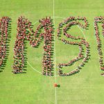
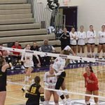
Campus photographer Derik Holtmann captured activity and engagement during the first month of classes.