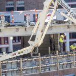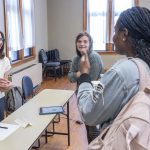
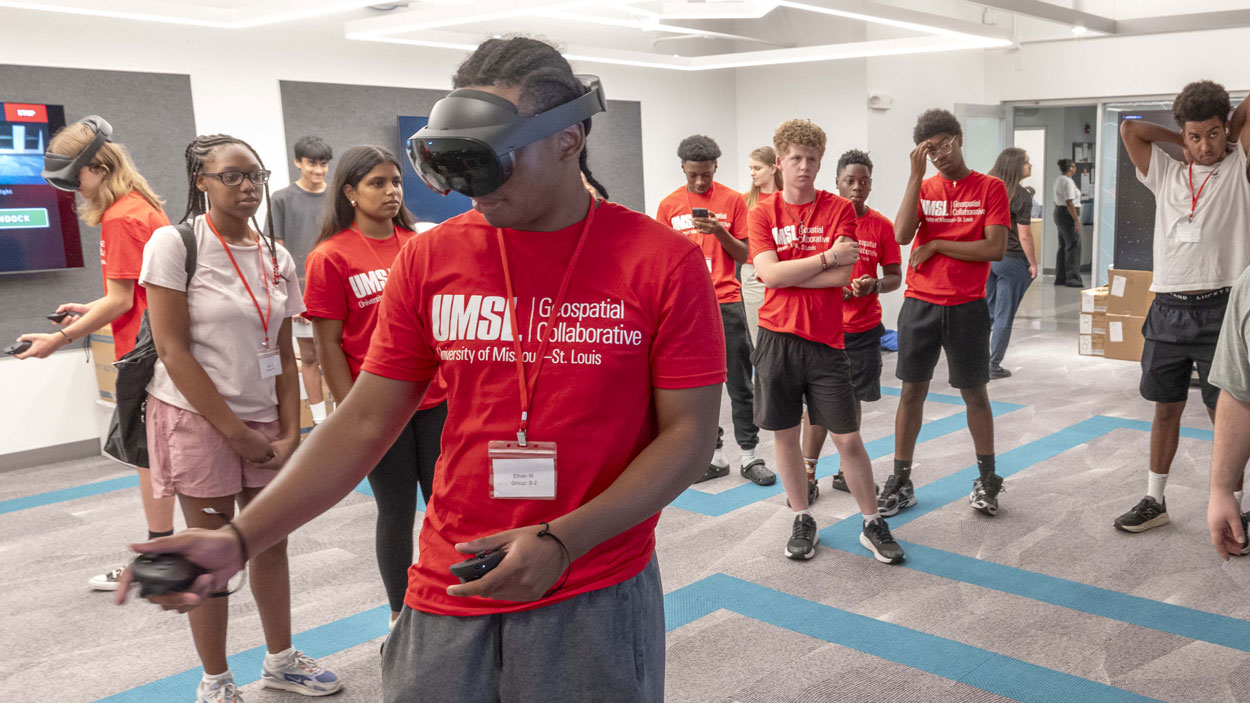
CBC High School student Ethan Williams navigates through the St. Louis airspace while wearing VR goggles during the UMSL Geospatial Summer Camp. More than 30 students from 20 area high schools took part in the four-day camp, held in Benton Hall. (Photos by Derik Holtmann)
Jaila Owens remembers being intrigued the first time one of her counselors with the TRIO Educational Talent Search program at Jennings Senior High School mentioned the Geospatial Summer Camp at the University of Missouri–St. Louis.
Owens, a rising sophomore, was confident she wanted to be part of it.
“I wanted to do it because I was curious,” Owens said. “I was like, ‘I don’t know what geospatial means.’”
Sure, she had an inkling that it involved geographic information she assumed was gathered from satellites and other technology tools, but she learned so much more about the field and its prevalence in everyday life last week as one of 33 area high school students taking part in the camp organized UMSL’s Geospatial Collaborative.
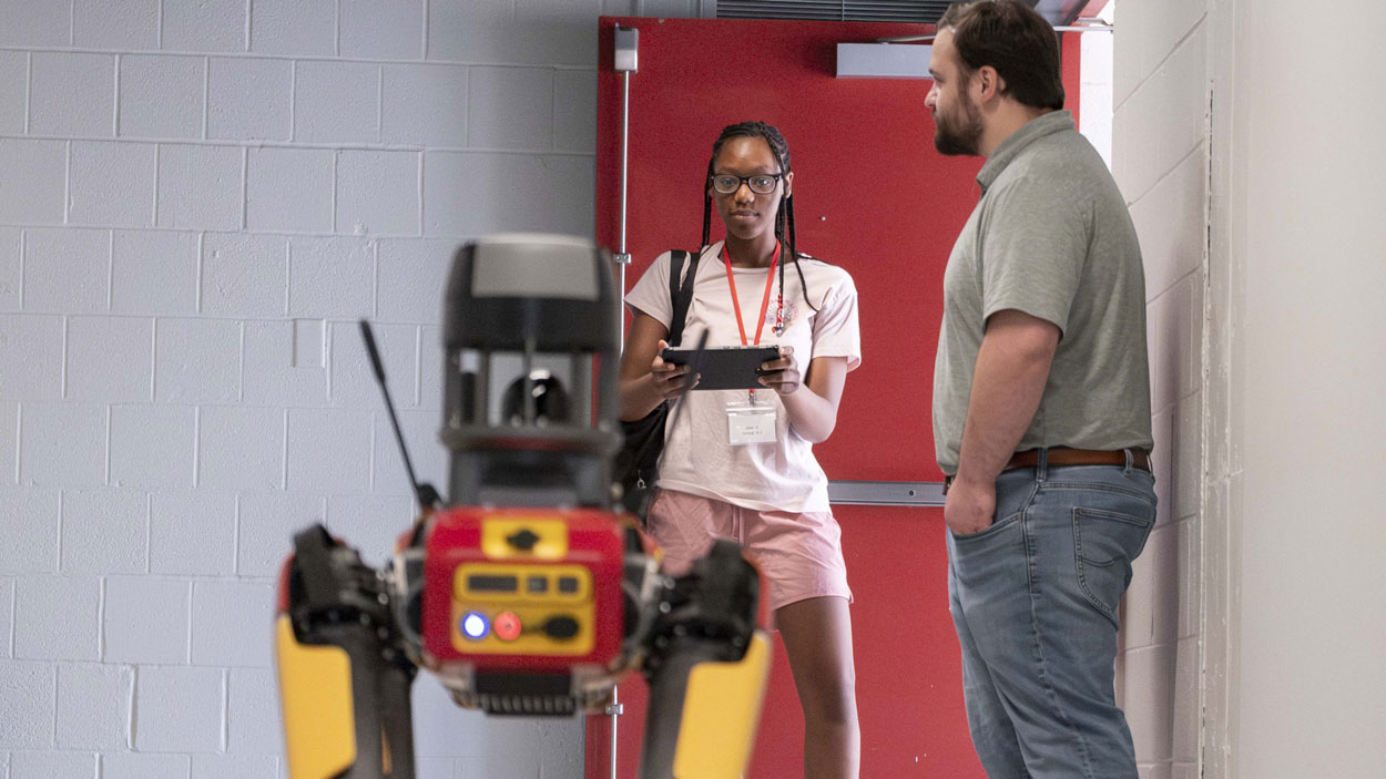
Jennings Senior High School student Jaila Owens operates the controls for Titan, UMSL’s agile mobile robotic dog, as lab manager Zach Ridings waits nearby.
Owens and her fellow campers had a chance over four days to get acquainted with ArcGIS, Esri’s industry-leading Geographic Information Systems platform, which allows users to create, manage, analyze, map and share geographic and spatial data. They operated drones; maneuvered UMSL’s robotic dog, Titan, which is equipped with cameras and sensors used to collect data used in modeling; and heard from professionals about career opportunities in geospatial technology.
“What makes this camp unique is that students don’t just learn about geospatial technology, they actually use it,” said Reda Amer, the director of the UMSL Geospatial Collaborative and an associate professor in the Department of Computer Science. “They get hands-on experience with GPS, drones, virtual reality, GIS and digital mapping tools, working with the same technologies used by government agencies, industry and researchers.
“Throughout the week, students see how geospatial technologies are used to solve real-world challenges in areas like emergency management, environmental sustainability, transportation, agriculture, urban planning and national security.”
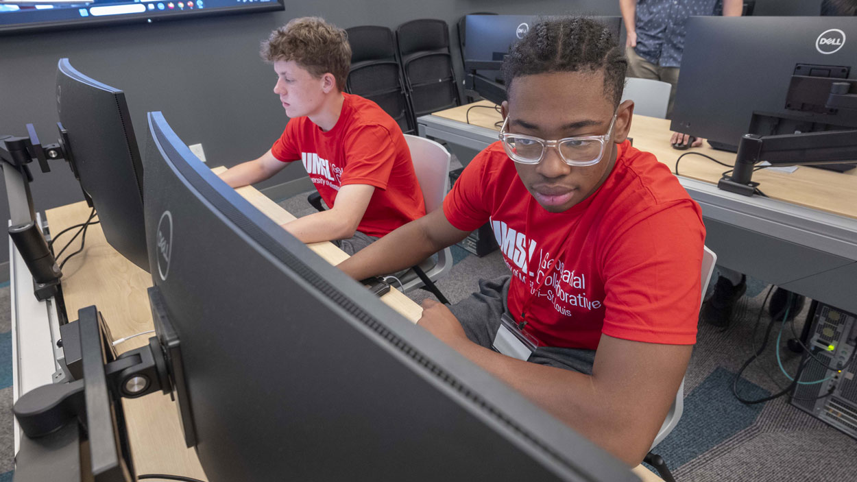
St. Louis University High School student Nick Schultz (at left) and CBC High School student Ethan Williams work with ArcGIS in UMSL’s Geospatial Advanced Technology Lab in Benton Hall.
The annual camp – held for the fourth straight summer from June 29 through July 2 – is one part of UMSL’s ongoing work to create a K-16 pipeline that that can help meet the future workforce needs of St. Louis’ blossoming geospatial ecosystem. There was another camp for middle school students held on June 22-23.
UMSL has also developed workshops for area teachers designed to help them implement geospatial lessons into their classrooms. The earlier students are exposed to geospatial technology and GIS, the easier it will be to understand their applications and know how to deploy them.
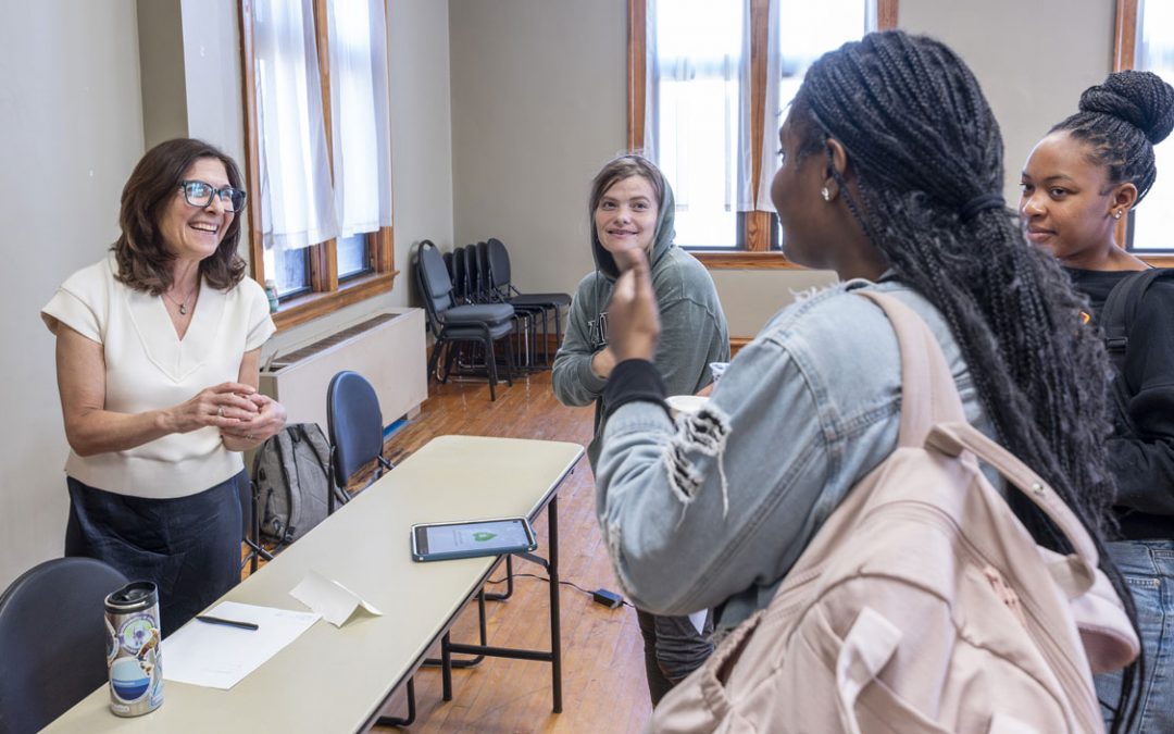
Assistant Teaching Professor Gizelle Cota led classroom instruction for the campers last week in the Geospatial Advanced Technology Lab in Benton Hall. The students also received lessons from Frank Romo, the CEO of RomoGIS, and Tara Vansell, a senior instructor at Lindenwood University, including instruction on how to use drones, one of the most popular hands-on activities from the week.
Nick Schultz, a rising junior at St. Louis University High School, had more experience with geospatial technology than many of the other campers, who hailed from 20 high schools across the region. He’s been a member of his school’s Geospatial Club, which launched last year.
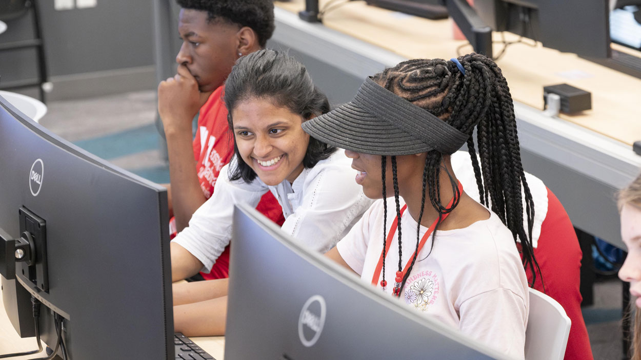
Assistant Teaching Professor Gizelle Cota led many of the lessons during the Geospatial Summer Camp.
But Schultz still appreciated the interactive design of the camp.
“It’s been pretty fun,” he said. “We’ve gotten to do some hands-on stuff. We’ve been doing stuff on ArcGIS.”
Ethan Williams, a rising junior at Christian Brothers College High School, described using the software to identify charging stations for electric vehicles throughout Canada and further filtered out the results to show fast-chargers available for public use.
Owens, a self-described ice cream lover, had another search in mind: identifying locations of Cold Stone Creamery stores.
“It can be what you want to make it,” she said.
On Thursday, the students spent much of the afternoon in UMSL’s virtual reality lab, where they had a chance to experience navigating through St. Louis airspace using VR headsets, experiment with the interactive table and take also the controls of Titan as it collected data.
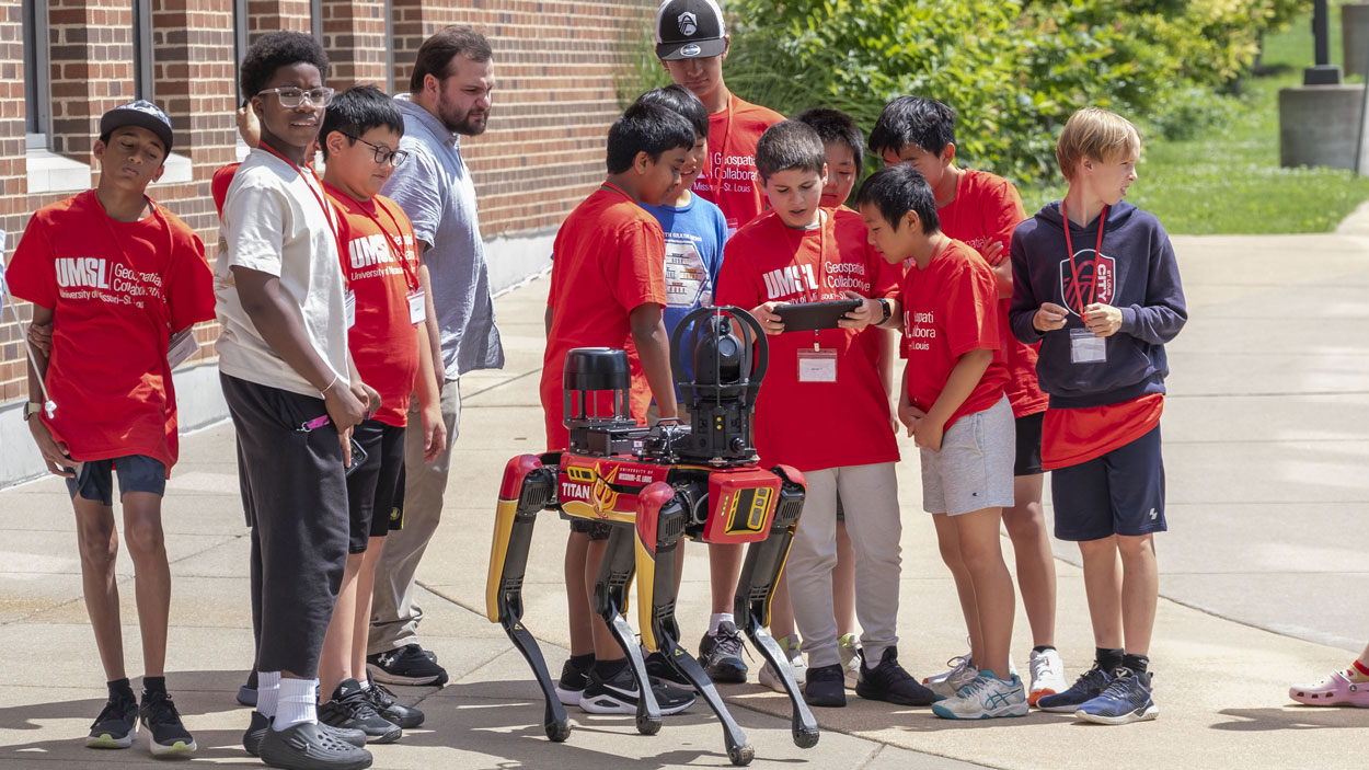
Middle school students operate Titan, UMSL’s agile mobile robot dog, during a geospatial camp for 6th through 8th graders held June 22-23.
“This camp is about more than learning new technology,” Amer said. “It is about helping students see themselves in STEM careers and developing future workforces that our region and our nation need.”
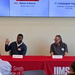
To that end, this year’s camp placed a great emphasis on exposing students to career potential career pathways, including with the companies that have either launched or expanded their presence in St. Louis alongside the National Geospatial-Intelligence Agency’s new NGA West campus, which opened last September.
“They need workforce,” Amer said. “They need graduates who know about geospatial science and the technology, who know how to work with geospatial data. Our industry partners – like Scale AI, BAE Systems and NV5 – they all say, ‘We need student interns, we need recent graduates in computer science, in business or in data science, but we need them to know geospatial, need them skilled with GIS. So, we added this as a component in our camp now to inform students about the career pathways in different fields.”